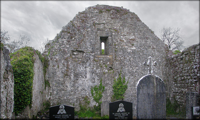
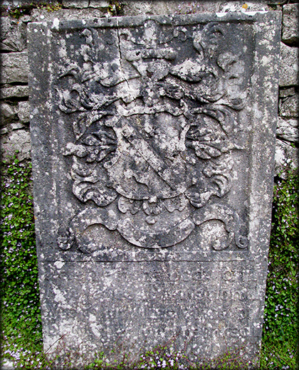
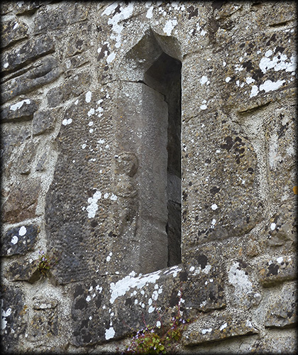
Rathcline Church and Sheela na Gig Rathcline Graveyard is situated in Glebe townland, it is centrally located within a large ecclesiastic enclosure. The banks of the enclosure have been levelled on most sides, but an arc of trees on the west side, in Rathcline townland clearly indicate the extent of the enclosure. The ruins of the former Parish Church of Rathcline stands in the centre of the graveyard. This late medieval church was entered via a doorway in the south wall. The church was constructed using limestone rubble and has a base-batter along the east gable. The window in the east gable has been rebuilt, the west gable has a 15th/16th century, ogee-headed window with punch-dressed jambs, see images of the sheela-na-gig below. There are a couple of 18th century and an earlier 17th century gravestones standing against the north wall. The vicarage was leased to Richard Nugent, 13th Baron of Delvin in 1552.
|
|
|---|---|
 |
 |
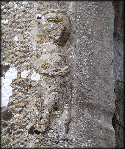
The main purpose of our visit to the parish church was to view the sheela-na-gig. The sheela can be seen on the exterior face of the north jamb of the ogee-headed window in the west gable. At first glance it reminded me of one of the figures carved on the cloister arcade at Jerpoint Abbey in Kilkenny, the position of the hands suggests both of these figures have stomach cramps. It is quite difficult to see in poor light, but on closer inspection you will notice that the genitalia is exposed and there is a drill hole between the female figures legs. Digital Heritage Age, sheela-na-gig project, have an excellent 3D model and description of the Rathcline sheela. |
|
 |
 |
Situated: From lanesborough take the Rathcline Road south for 3.5 kilometres. then take a right turn for Rathcline cemetery. The site is about 700 metres down here. Discovery Map 40: M 99791 66065. Last visit Sept 2021. Longitude: 8° 00' 14.0" W Latitude: 53° 38' 40.4" N Photos: José Gutiérrez. |
 |